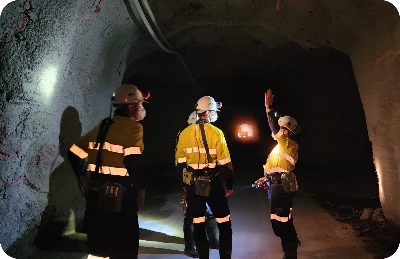
Cave Mine Monitoring
Timelapse gravity for visualisation and monitoring of cave mines.
Register NowOur Service
At Nomad Atomics, we’re pioneering a new technique in cave mine monitoring using timelapse gravity.
By combining absolute gravity sensing with advanced data analytics, we deliver regular, high-resolution 3D insights into cave development, empowering operators to stay ahead of geotechnical risks and optimise extraction, to run safer, more efficient operations.
The Nomad Atomics Advantage
Real-time operational insights
We acquire precise (µGal) gravity data with short acquisition and processing times to provide actionable insights quickly. Our data is complementary to other monitoring techniques and can be integrated with existing datasets to improve the accuracy of current cave models.
Reduced uncertainty
Unlike point-based or line-based methods, our gravity surveys provide insight across the entire monitored volume. By directly measuring changes in mass using absolute gravity, we enable mass balance analysis - helping to detect discrepancies between extracted volumes and cave models.
Reliable life-of-mine monitoring
By acquiring data from the extraction level, our system allows continuous monitoring at any depth, even as surface access is lost. Precise and stable measurements with no additional infrastructure, drillholes, or installations avoids common failure modes in existing monitoring techniques and enables reliable, long-term deployment across the full life of the mine.
Our Monitoring Services,
tailored to your mine.
Nomad Atomics offers a structured, phased approach ensuring optimal results. Our service is designed to scale with your mine’s needs, from initial planning to ongoing timelapse data collection.
Survey Planning
We prepare a customised deployment plan (station spacing, spatial coverage and survey intervals) based on existing data and modelling of the expected gravity signal. We evaluate existing geological and geotechnical datasets for integration and configure our processing pipeline for selected cave-feature identification.
Baseline Commissioning
We establish baseline absolute gravity data and an initial density model, reconciled against existing cave models and production data where available.
Timelapse Monitoring
We run regular gravity surveys at operationally relevant intervals to resolve changes in cave geometry and key features such as muck-pile height, airgap, and cave-back position, with QA/QC applied in-field, followed by post-processing and model generation.
Critical-Phase Campaigns
During critical periods, we offer intensified measurement windows for faster model updates and quicker decision support.